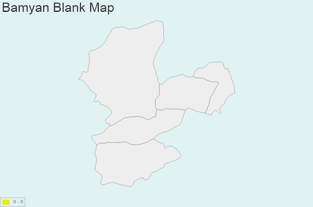
Bamyan Map Chart and Blank Image
General Information:
Coordinates: 34°49′30″N 67°50′00″E
Country: Afghanistan
Province: Bamyan Province
Settled: 2800 BCE
Government
- President of City Council: Muhammad Tahir Zaheer
Area
- Total: 35 km2 (14 sq mi)
Elevation: 2,550 m (8,370 ft)
Population (2014)
- Total: 100,000
Time zone: UTC+4:30
Bamyan bordering Province: Baghlan, Ghazni, Ghor, Parwan, Samangan, Sari Pul, Uruzgan, Wardak
Regional Map: Map of Afghanistan, Map of Asia
Bamyan province is divided into districts:
- Bamyan_City
- Panjab
- Shibar
- Waras
- Yakawlang


