Australia Map With States
Australia map below includes state maps, area maps, physical maps, black and white maps, and maps on google maps. Please use it according to your needs.

Australia Bordering Countries: None
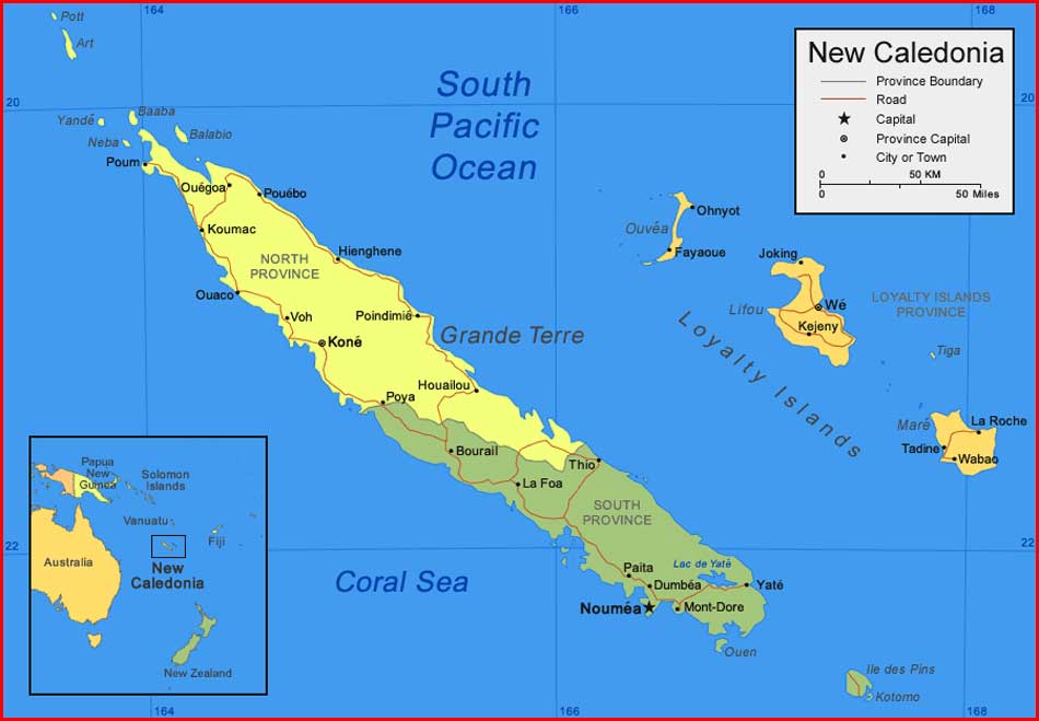
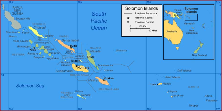
Regional Maps: Map of New Zealand, Map of the Solomon Islands, Map of New Caledonia, World Map, Map of Fiji
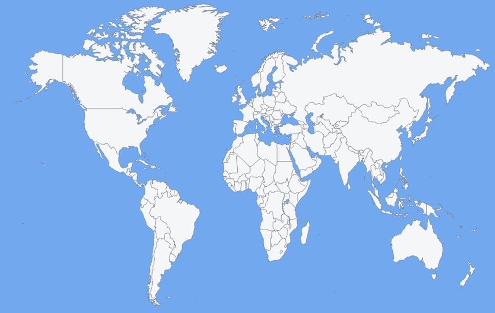
Australia Map Location
This picture map describes the location of Australia on a world map

Australia Physical Map
Baca juga: Blank World Map Chart

Black and white Australia Map

Important city of Australia: Adelaide, Albany, Alice Springs, Bourke, Brisbane, Broome, Cairns, Canberra, Charleville, Cloncurry, Cooktown, Coolgardie, Dampier, Darwin, Derby, Fremantle, Geelong, Geraldton, Gladstone, Gold Coast, Hobart, Katherine, Launceston, Mackay, Melbourne, Mildura, Newcastle, Perth, Port Augusta, Port Hedland, Rockhampton, Sydney, Townsville, Wollongong and Wyndham.
Nama asli saya Supriyadi dan populer Supriyadi Pro. Saya seorang Expert wordpress developer freelancer, content writer, editor. Memiliki minat besar pada dunia teknologi, sains, seni budaya, social media, dan blogging. Saya kelahiran suku Jawa, di Wonogiri, Jawa Tengah yang ahli bahasa Jawa dan seni gamelan. Silahkan hubungi saya lewat laman yang telah disediakan atau kunjungi website profil saya di https://supriyadipro.com
Artikel Terkait